
孟家屯村 topographic map
Interactive map
Click on the map to display elevation.
About this map
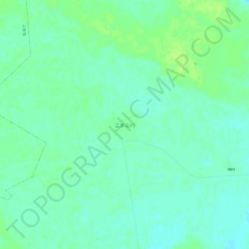
Name: 孟家屯村 topographic map, elevation, terrain.
Location: 孟家屯村, 通辽市, 内蒙古自治区, 中国 (43.52641 121.50914 43.56641 121.54914)
Average elevation: 230 m
Minimum elevation: 224 m
Maximum elevation: 237 m
Other topographic maps
Click on a map to view its topography, its elevation and its terrain.