
芒石 topographic map
Interactive map
Click on the map to display elevation.
About this map
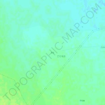
Name: 芒石 topographic map, elevation, terrain.
Location: 芒石, 八仙筒镇, 奈曼旗, 通辽市, 内蒙古自治区, 中国 (43.16588 120.88238 43.20588 120.92238)
Average elevation: 305 m
Minimum elevation: 300 m
Maximum elevation: 312 m
Other topographic maps
Click on a map to view its topography, its elevation and its terrain.