
上新庄镇 topographic map
Interactive map
Click on the map to display elevation.
About this map
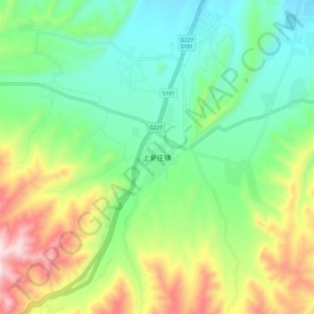
Name: 上新庄镇 topographic map, elevation, terrain.
Location: 上新庄镇, 湟中区, 西宁市, 青海省, 中国 (36.38916 101.55791 36.46916 101.63791)
Average elevation: 2,850 m
Minimum elevation: 2,629 m
Maximum elevation: 3,287 m
Other topographic maps
Click on a map to view its topography, its elevation and its terrain.