
海子沟乡 topographic map
Interactive map
Click on the map to display elevation.
About this map
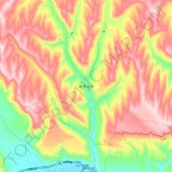
Name: 海子沟乡 topographic map, elevation, terrain.
Location: 海子沟乡, 湟中区, 西宁市, 青海省, 中国 (36.67706 101.61094 36.75706 101.69094)
Average elevation: 2,576 m
Minimum elevation: 2,329 m
Maximum elevation: 2,772 m
Other topographic maps
Click on a map to view its topography, its elevation and its terrain.