
李家山镇 topographic map
Interactive map
Click on the map to display elevation.
About this map
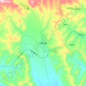
Name: 李家山镇 topographic map, elevation, terrain.
Location: 李家山镇, 湟中区, 西宁市, 青海省, 中国 (36.76243 101.51567 36.84243 101.59567)
Average elevation: 2,696 m
Minimum elevation: 2,516 m
Maximum elevation: 3,030 m
Other topographic maps
Click on a map to view its topography, its elevation and its terrain.