
多巴镇 topographic map
Interactive map
Click on the map to display elevation.
About this map
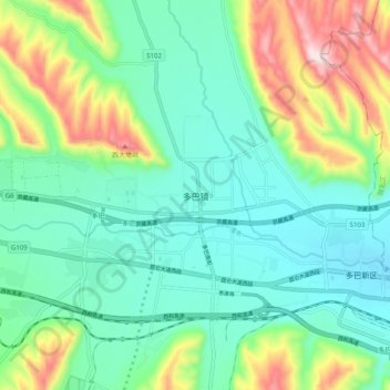
Name: 多巴镇 topographic map, elevation, terrain.
Location: 多巴镇, 湟中区, 西宁市, 青海省, 中国 (36.62256 101.48283 36.70256 101.56283)
Average elevation: 2,458 m
Minimum elevation: 2,338 m
Maximum elevation: 2,765 m
Other topographic maps
Click on a map to view its topography, its elevation and its terrain.