
马头山社区 topographic map
Interactive map
Click on the map to display elevation.
About this map
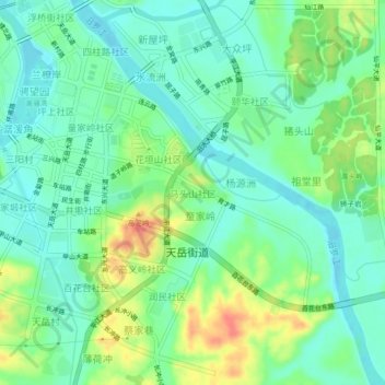
Name: 马头山社区 topographic map, elevation, terrain.
Location: 马头山社区, 平江县, 岳阳市, 湖南省, 中国 (28.67228 113.58262 28.71228 113.62262)
Average elevation: 83 m
Minimum elevation: 64 m
Maximum elevation: 120 m
Other topographic maps
Click on a map to view its topography, its elevation and its terrain.