
浮桥街社区 topographic map
Interactive map
Click on the map to display elevation.
About this map
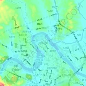
Name: 浮桥街社区 topographic map, elevation, terrain.
Location: 浮桥街社区, 平江县, 岳阳市, 湖南省, 中国 (28.69063 113.56580 28.73063 113.60580)
Average elevation: 84 m
Minimum elevation: 63 m
Maximum elevation: 166 m
Other topographic maps
Click on a map to view its topography, its elevation and its terrain.