
长寿镇 topographic map
Interactive map
Click on the map to display elevation.
About this map
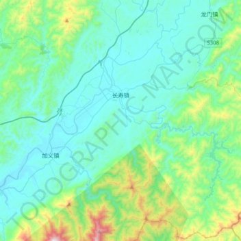
Name: 长寿镇 topographic map, elevation, terrain.
Location: 长寿镇, 平江县, 岳阳市, 湖南省, 中国 (28.54640 113.83808 28.81704 114.15166)
Average elevation: 296 m
Minimum elevation: 84 m
Maximum elevation: 1,331 m
Other topographic maps
Click on a map to view its topography, its elevation and its terrain.