
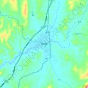
南江镇 topographic map
Interactive map
Click on the map to display elevation.
About this map
Name: 南江镇 topographic map, elevation, terrain.
Location: 南江镇, 平江县, 岳阳市, 湖南省, 中国 (28.93454 113.70067 29.01454 113.78067)
Average elevation: 207 m
Minimum elevation: 134 m
Maximum elevation: 559 m
Other topographic maps
Click on a map to view its topography, its elevation and its terrain.