
天岳街道 topographic map
Interactive map
Click on the map to display elevation.
About this map
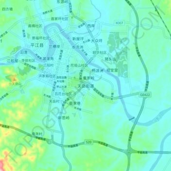
Name: 天岳街道 topographic map, elevation, terrain.
Location: 天岳街道, 平江县, 岳阳市, 湖南省, 中国 (28.64621 113.56195 28.72621 113.64195)
Average elevation: 96 m
Minimum elevation: 64 m
Maximum elevation: 261 m
Other topographic maps
Click on a map to view its topography, its elevation and its terrain.