
罗家垅 topographic map
Interactive map
Click on the map to display elevation.
About this map
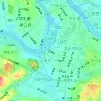
Name: 罗家垅 topographic map, elevation, terrain.
Location: 罗家垅, 丹桂园, 潺湲角, 平江县, 岳阳市, 湖南省, 中国 (28.68846 113.57357 28.70846 113.59357)
Average elevation: 81 m
Minimum elevation: 63 m
Maximum elevation: 133 m
Other topographic maps
Click on a map to view its topography, its elevation and its terrain.