
北川羌族自治县 topographic map
Interactive map
Click on the map to display elevation.
About this map
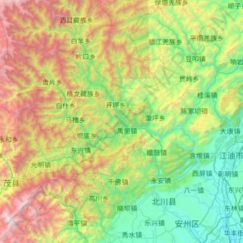
Name: 北川羌族自治县 topographic map, elevation, terrain.
Location: 北川羌族自治县, 绵阳市, 四川省, 中国 (31.55982 103.74621 32.21940 104.72185)
Average elevation: 1,648 m
Minimum elevation: 450 m
Maximum elevation: 4,926 m
Other topographic maps
Click on a map to view its topography, its elevation and its terrain.