
华丰街道 topographic map
Interactive map
Click on the map to display elevation.
About this map
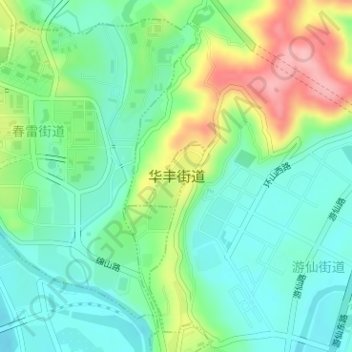
Name: 华丰街道 topographic map, elevation, terrain.
Location: 华丰街道, 游仙区, 绵阳市, 四川省, 中国 (31.50901 104.75679 31.51379 104.76217)
Average elevation: 491 m
Minimum elevation: 448 m
Maximum elevation: 579 m
Other topographic maps
Click on a map to view its topography, its elevation and its terrain.