
龙门山 topographic map
Interactive map
Click on the map to display elevation.
About this map
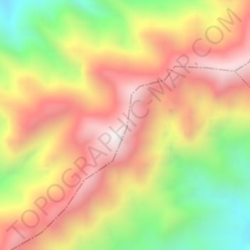
Name: 龙门山 topographic map, elevation, terrain.
Location: 龙门山, 绵阳市, 四川省, 中国 (32.15352 104.91652 32.15362 104.91662)
Average elevation: 1,509 m
Minimum elevation: 974 m
Maximum elevation: 1,945 m
龙门山脉位于四川盆地西北边缘,东北-西南走向,东北起于广元市青川县四川、陕西交界处,西南抵达泸定县境内,全长约500公里,宽30-70公里,跨广元、绵阳、成都市和阿坝州等,为四川盆地与川西高原地区的分界线。最高峰为九顶山,海拔4984米。
Other topographic maps
Click on a map to view its topography, its elevation and its terrain.