
天水圍 topographic map
Interactive map
Click on the map to display elevation.
About this map
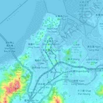
Name: 天水圍 topographic map, elevation, terrain.
Location: 天水圍, 元朗區, 新界, 香港, 中国 (22.41961 113.96224 22.49961 114.04224)
Average elevation: 20 m
Minimum elevation: -12 m
Maximum elevation: 354 m
Other topographic maps
Click on a map to view its topography, its elevation and its terrain.