
東頭園 topographic map
Interactive map
Click on the map to display elevation.
About this map
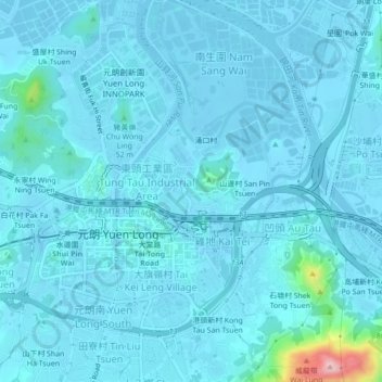
Name: 東頭園 topographic map, elevation, terrain.
Location: 東頭園, 山貝村, 元朗區, 新界, 香港, 中国 (22.42889 114.01428 22.46889 114.05428)
Average elevation: 14 m
Minimum elevation: -11 m
Maximum elevation: 210 m