
橋頭圍 topographic map
Interactive map
Click on the map to display elevation.
About this map
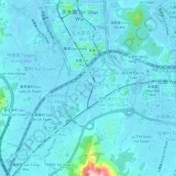
Name: 橋頭圍 topographic map, elevation, terrain.
Location: 橋頭圍, 塘坊村, 元朗區, 新界, 香港, 中国 (22.42294 113.98430 22.46294 114.02430)
Average elevation: 16 m
Minimum elevation: -17 m
Maximum elevation: 223 m