
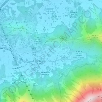
風吹羅帶 topographic map
Interactive map
Click on the map to display elevation.
About this map
Name: 風吹羅帶 topographic map, elevation, terrain.
Location: 風吹羅帶, 井頭, 元朗區, 新界, 香港, 中国 (22.46776 114.06429 22.48776 114.08429)
Average elevation: 93 m
Minimum elevation: 0 m
Maximum elevation: 572 m