
下攸田村 topographic map
Interactive map
Click on the map to display elevation.
About this map
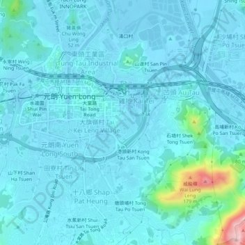
Name: 下攸田村 topographic map, elevation, terrain.
Location: 下攸田村, 大旗嶺村, 元朗區, 新界, 香港, 中国 (22.42012 114.01535 22.46012 114.05535)
Average elevation: 23 m
Minimum elevation: -5 m
Maximum elevation: 232 m