
陶家村 topographic map
Interactive map
Click on the map to display elevation.
About this map
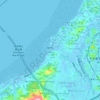
Name: 陶家村 topographic map, elevation, terrain.
Location: 陶家村, 流浮山, 元朗區, 新界, 香港, 中国 (22.44364 113.96084 22.48364 114.00084)
Average elevation: 10 m
Minimum elevation: -17 m
Maximum elevation: 167 m