
平原 topographic map
Interactive map
Click on the map to display elevation.
About this map
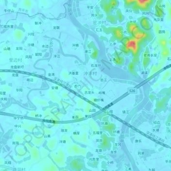
Name: 平原 topographic map, elevation, terrain.
Location: 平原, 台山市, 江门市, 广东省, 中国 (22.29836 112.68917 22.33836 112.72917)
Average elevation: 8 m
Minimum elevation: -7 m
Maximum elevation: 89 m
Other topographic maps
Click on a map to view its topography, its elevation and its terrain.