
地祇 topographic map
Interactive map
Click on the map to display elevation.
About this map
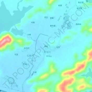
Name: 地祇 topographic map, elevation, terrain.
Location: 地祇, 台山市, 江门市, 广东省, 中国 (21.83450 112.54769 21.87450 112.58769)
Average elevation: 27 m
Minimum elevation: -3 m
Maximum elevation: 181 m