
大江镇 topographic map
Interactive map
Click on the map to display elevation.
About this map
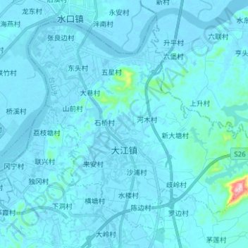
Name: 大江镇 topographic map, elevation, terrain.
Location: 大江镇, 台山市, 江门市, 广东省, 中国 (22.34614 112.74675 22.44738 112.87116)
Average elevation: 13 m
Minimum elevation: -4 m
Maximum elevation: 329 m
Other topographic maps
Click on a map to view its topography, its elevation and its terrain.