
围夹岛 topographic map
Interactive map
Click on the map to display elevation.
About this map
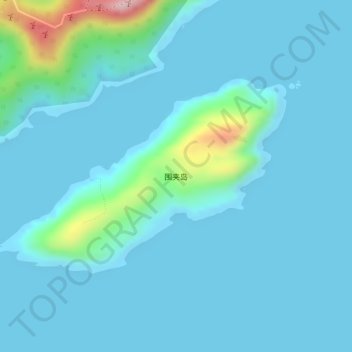
Name: 围夹岛 topographic map, elevation, terrain.
Location: 围夹岛, 台山市, 江门市, 广东省, 中国 (21.56714 112.78864 21.58210 112.81262)
Average elevation: 28 m
Minimum elevation: -1 m
Maximum elevation: 231 m
Other topographic maps
Click on a map to view its topography, its elevation and its terrain.