
新北 topographic map
Interactive map
Click on the map to display elevation.
About this map
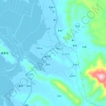
Name: 新北 topographic map, elevation, terrain.
Location: 新北, 台山市, 江门市, 广东省, 中国 (21.93022 112.49896 21.97022 112.53896)
Average elevation: 31 m
Minimum elevation: -3 m
Maximum elevation: 268 m
Other topographic maps
Click on a map to view its topography, its elevation and its terrain.