
药王山 topographic map
Interactive map
Click on the map to display elevation.
About this map
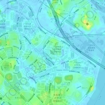
Name: 药王山 topographic map, elevation, terrain.
Location: 药王山, 广州大学城, 小谷围街道, 番禺区, 广州市, 广东省, 中国 (23.06084 113.39811 23.06221 113.39959)
Average elevation: 6 m
Minimum elevation: -5 m
Maximum elevation: 27 m
Other topographic maps
Click on a map to view its topography, its elevation and its terrain.