
南村镇 topographic map
Interactive map
Click on the map to display elevation.
About this map
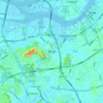
Name: 南村镇 topographic map, elevation, terrain.
Location: 南村镇, 番禺区, 广州市, 广东省, 511442, 中国 (22.97203 113.32959 23.03944 113.42304)
Average elevation: 14 m
Minimum elevation: -7 m
Maximum elevation: 139 m
Other topographic maps
Click on a map to view its topography, its elevation and its terrain.