
大象岗森林公园 topographic map
Interactive map
Click on the map to display elevation.
About this map
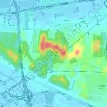
Name: 大象岗森林公园 topographic map, elevation, terrain.
Location: 大象岗森林公园, 大石街道, 番禺区, 广州市, 广东省, 中国 (22.99789 113.27774 23.01057 113.29078)
Average elevation: 17 m
Minimum elevation: -2 m
Maximum elevation: 77 m
Other topographic maps
Click on a map to view its topography, its elevation and its terrain.