
桥南街道 topographic map
Interactive map
Click on the map to display elevation.
About this map
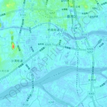
Name: 桥南街道 topographic map, elevation, terrain.
Location: 桥南街道, 番禺区, 广州市, 广东省, 中国 (22.89623 113.34220 22.93439 113.41505)
Average elevation: 4 m
Minimum elevation: -10 m
Maximum elevation: 58 m
Other topographic maps
Click on a map to view its topography, its elevation and its terrain.