
小谷围街道 topographic map
Interactive map
Click on the map to display elevation.
About this map
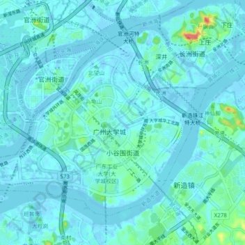
Name: 小谷围街道 topographic map, elevation, terrain.
Location: 小谷围街道, 番禺区, 广州市, 广东省, 中国 (23.02927 113.34262 23.08256 113.41885)
Average elevation: 7 m
Minimum elevation: -5 m
Maximum elevation: 70 m
Other topographic maps
Click on a map to view its topography, its elevation and its terrain.