
市桥街道 topographic map
Interactive map
Click on the map to display elevation.
About this map
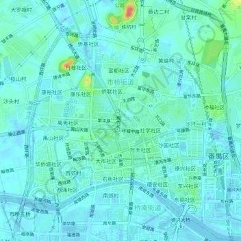
Name: 市桥街道 topographic map, elevation, terrain.
Location: 市桥街道, 番禺区, 广州市, 广东省, 中国 (22.92479 113.34437 22.96404 113.38648)
Average elevation: 10 m
Minimum elevation: -3 m
Maximum elevation: 59 m
Other topographic maps
Click on a map to view its topography, its elevation and its terrain.