
沙湾街道 topographic map
Interactive map
Click on the map to display elevation.
About this map
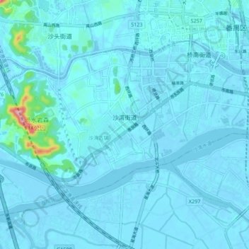
Name: 沙湾街道 topographic map, elevation, terrain.
Location: 沙湾街道, 番禺区, 广州市, 广东省, 中国 (22.87974 113.27091 22.93709 113.35472)
Average elevation: 9 m
Minimum elevation: -6 m
Maximum elevation: 160 m
Other topographic maps
Click on a map to view its topography, its elevation and its terrain.