
江海区 topographic map
Interactive map
Click on the map to display elevation.
About this map
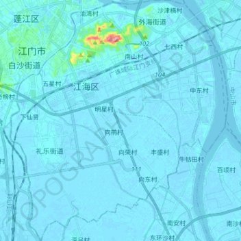
Name: 江海区 topographic map, elevation, terrain.
Location: 江海区, 江门市, 广东省, 中国 (22.48484 113.06436 22.60689 113.18366)
Average elevation: 5 m
Minimum elevation: -14 m
Maximum elevation: 151 m
Other topographic maps
Click on a map to view its topography, its elevation and its terrain.