
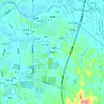
联安圩 topographic map
Interactive map
Click on the map to display elevation.
About this map
Name: 联安圩 topographic map, elevation, terrain.
Location: 联安圩, 台山市, 江门市, 广东省, 中国 (22.20827 112.79467 22.24827 112.83467)
Average elevation: 19 m
Minimum elevation: -1 m
Maximum elevation: 109 m