
三水村 topographic map
Interactive map
Click on the map to display elevation.
About this map
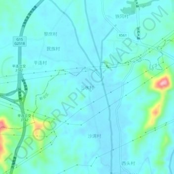
Name: 三水村 topographic map, elevation, terrain.
Location: 三水村, 江门市, 广东省, 中国 (22.53841 112.85693 22.57841 112.89693)
Average elevation: 25 m
Minimum elevation: -1 m
Maximum elevation: 177 m
Other topographic maps
Click on a map to view its topography, its elevation and its terrain.