
镇龙村 topographic map
Interactive map
Click on the map to display elevation.
About this map
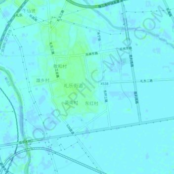
Name: 镇龙村 topographic map, elevation, terrain.
Location: 镇龙村, 江门市, 广东省, 中国 (22.51043 113.06927 22.55043 113.10927)
Average elevation: 2 m
Minimum elevation: -2 m
Maximum elevation: 7 m
Other topographic maps
Click on a map to view its topography, its elevation and its terrain.