
临江市 topographic map
Interactive map
Click on the map to display elevation.
About this map
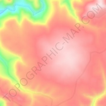
Name: 临江市 topographic map, elevation, terrain.
Location: 临江市, 白山市, 吉林省, 中国 (41.81175 127.17634 41.85175 127.21634)
Average elevation: 796 m
Minimum elevation: 522 m
Maximum elevation: 905 m
Other topographic maps
Click on a map to view its topography, its elevation and its terrain.