
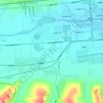
仁坪村 topographic map
Interactive map
Click on the map to display elevation.
About this map
Name: 仁坪村 topographic map, elevation, terrain.
Location: 仁坪村, 小营镇, 延吉市, 延边朝鲜族自治州, 吉林省, 中国 (42.86333 129.40203 42.90333 129.44203)
Average elevation: 201 m
Minimum elevation: 176 m
Maximum elevation: 315 m
Other topographic maps
Click on a map to view its topography, its elevation and its terrain.