
江东乡 topographic map
Interactive map
Click on the map to display elevation.
About this map
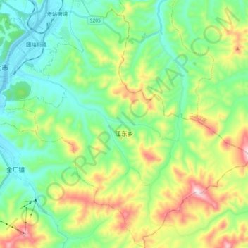
Name: 江东乡 topographic map, elevation, terrain.
Location: 江东乡, 东昌区, 通化市, 吉林省, 134000, 中国 (41.62777 125.95254 41.76214 126.11730)
Average elevation: 567 m
Minimum elevation: 368 m
Maximum elevation: 1,014 m
Other topographic maps
Click on a map to view its topography, its elevation and its terrain.