
八盘道村 topographic map
Interactive map
Click on the map to display elevation.
About this map
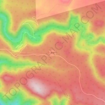
Name: 八盘道村 topographic map, elevation, terrain.
Location: 八盘道村, 宝泉山镇, 长白朝鲜族自治县, 白山市, 吉林省, 中国 (41.47402 127.55943 41.51402 127.59943)
Average elevation: 915 m
Minimum elevation: 610 m
Maximum elevation: 1,088 m