
青溪洞村 topographic map
Interactive map
Click on the map to display elevation.
About this map
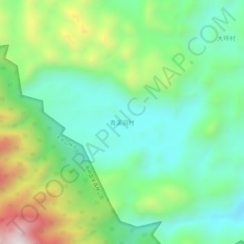
Name: 青溪洞村 topographic map, elevation, terrain.
Location: 青溪洞村, 乳源瑶族自治县, 韶关市, 广东省, 中国 (24.94025 113.04112 24.98025 113.08112)
Average elevation: 937 m
Minimum elevation: 691 m
Maximum elevation: 1,469 m
Other topographic maps
Click on a map to view its topography, its elevation and its terrain.