
南水 topographic map
Interactive map
Click on the map to display elevation.
About this map
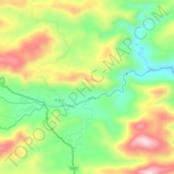
Name: 南水 topographic map, elevation, terrain.
Location: 南水, 坪溪村, 乳源瑶族自治县, 韶关市, 广东省, 中国 (24.74512 112.98435 24.75629 113.03841)
Average elevation: 709 m
Minimum elevation: 524 m
Maximum elevation: 942 m