
龍岐山 topographic map
Interactive map
Click on the map to display elevation.
About this map
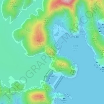
Name: 龍岐山 topographic map, elevation, terrain.
Location: 龍岐山, 西貢區, 新界, 香港, 中国 (22.36983 114.37372 22.36993 114.37382)
Average elevation: 57 m
Minimum elevation: -10 m
Maximum elevation: 240 m
Other topographic maps
Click on a map to view its topography, its elevation and its terrain.