
菜園村 topographic map
Interactive map
Click on the map to display elevation.
About this map
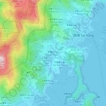
Name: 菜園村 topographic map, elevation, terrain.
Location: 菜園村, 北港, 西貢區, 新界, 香港, 中国 (22.35544 114.24033 22.39544 114.28033)
Average elevation: 105 m
Minimum elevation: -3 m
Maximum elevation: 490 m