
將軍澳村 topographic map
Interactive map
Click on the map to display elevation.
About this map
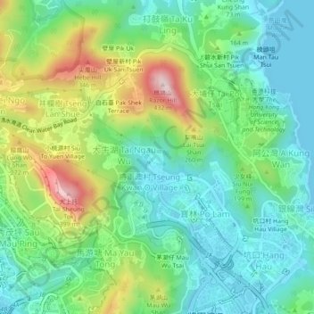
Name: 將軍澳村 topographic map, elevation, terrain.
Location: 將軍澳村, 將軍澳上村, 將軍澳村, 西貢區, 新界, 香港, 中国 (22.30972 114.23125 22.34972 114.27125)
Average elevation: 126 m
Minimum elevation: 0 m
Maximum elevation: 407 m