
库水浣 topographic map
Interactive map
Click on the map to display elevation.
About this map
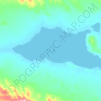
Name: 库水浣 topographic map, elevation, terrain.
Location: 库水浣, 索加乡, 治多县, 玉树藏族自治州, 青海省, 中国 (35.96287 90.05028 36.01584 90.18878)
Average elevation: 5,040 m
Minimum elevation: 5,003 m
Maximum elevation: 5,331 m
Other topographic maps
Click on a map to view its topography, its elevation and its terrain.