
风火山 topographic map
Interactive map
Click on the map to display elevation.
About this map
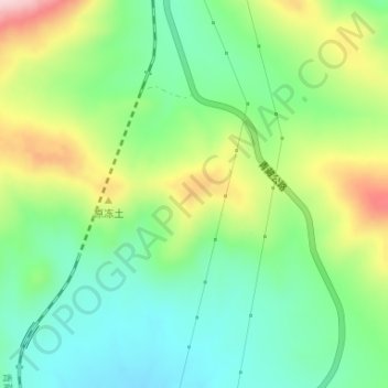
Name: 风火山 topographic map, elevation, terrain.
Location: 风火山, 索加乡, 治多县, 玉树藏族自治州, 青海省, 中国 (34.67862 92.90929 34.67872 92.90939)
Average elevation: 4,928 m
Minimum elevation: 4,841 m
Maximum elevation: 5,084 m
Other topographic maps
Click on a map to view its topography, its elevation and its terrain.