
涟湖 topographic map
Interactive map
Click on the map to display elevation.
About this map
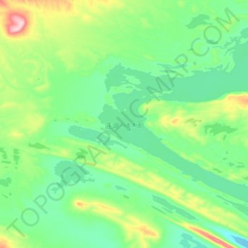
Name: 涟湖 topographic map, elevation, terrain.
Location: 涟湖, 索加乡, 治多县, 玉树藏族自治州, 青海省, 中国 (35.47811 90.13692 35.62252 90.30310)
Average elevation: 4,940 m
Minimum elevation: 4,871 m
Maximum elevation: 5,124 m
Other topographic maps
Click on a map to view its topography, its elevation and its terrain.