
汉台山 topographic map
Interactive map
Click on the map to display elevation.
About this map
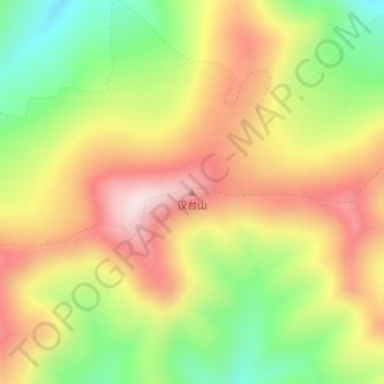
Name: 汉台山 topographic map, elevation, terrain.
Location: 汉台山, 索加乡, 治多县, 玉树藏族自治州, 青海省, 中国 (35.46598 90.88755 35.46608 90.88765)
Average elevation: 5,429 m
Minimum elevation: 5,170 m
Maximum elevation: 5,676 m
Other topographic maps
Click on a map to view its topography, its elevation and its terrain.